 BGS Data Catalogue
SEG Y
Type of resources
Topics
Keywords
Contact for the resource
Provided by
Years
Formats
Representation types
Update frequencies
Scale
-

The 3D multi channel seismic data were acquired as part of a collaborative investigation into models of magmatic segmentation between the Scripps Institute of Oceanography and BIRPS (the British Institutions Reflection Profiling Syndicate). The 3D EPR (East Pacific Rise) ARAD (Anatomy of a Ridge Axis Discontinuity) EW9707 cruise was undertaken in September and October 1997 to provide both refelction and wide-angle seismic data for the study of the overlapping spreading centre (OSC) at 9 degrees 3 minutes N on the East Pacific Rise. The data were acquired with a single source and a single streamer with a nominal line spacing of 100 m. The 3D-EPR ARAD survey was a joint NERC/NSF (US National Science Foundation) funded project and the copyright for this survey is held jointly. Reference: Bazin, S. Harding, AJ. et al. (2001) Three-dimensional shallow crustal emplacement at the 9 degree 03 minute N overlapping spreading center on the East Pacific Rise, Journal of Geophysical Research.
-
In 1992, BIRPS joined with the Indonesian Marine Geological Institute to record two long multichannel normal-incidence reflection profiles, one of which is DAMAR, the other TIMOR, and one short profile (API) close to the volcano Gunung Api. The survey provides a modern analogue to tectonics hypothesized to have occurred across the Iapetus suture zone of northern England 450-400 Ma. The Banda Arc of Indonesia near the island of Timor is widely recognized as the premier example of the active subduction of continental crust and lithosphere beneath oceanic lithosphere. The crossing of a modern island arc and close passage to active volcanoes was intended to image reflections associated with magma in the crust and uppermost mantle.
-

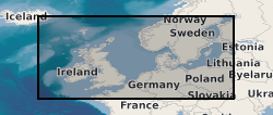
MONA LISA (Marine and Onshore North Sea Acquisition for Lithospheric Seismic Analysis) seismic data was acquired by BIRPS (the British Institutions Reflection Profiling Syndicate) across the Ringkobing-Fyn High of the central North Sea were designed to study the crust near a hypothesized Caledonian age triple junction associated with the colliding continental crust of Laurentia, Avalonia (Gondwanaland) and Baltica. The specific target was the eastward continuation of the Caledonian Front (Iapetus Suture), as previously recognised on NEC (North East Coast line), MOBIL (Measurements over Basins to Image Lithosphere), NSDP (North Sea Deep Profile) and BABEL (Baltic and Bothnian Echoes from the Lithosphere) profiles, in northern Europe. 1112 km of data were acquired, recorded to 26 s two-way time.
-
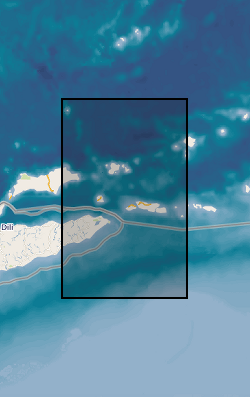
The British Institutions Reflection Profiling Syndicate (BIRPS) shot approximately 12,000 km of deep, multi-channel seismic reflection data around the British Isles from 1981 to 1991 during 14 surveys. Recording depths vary depending on the purpose of the survey but range from 15 s to 40 s two-way time. Raw and processed digital data are archived by BGS who make the data available subject to the cost of reproduction and handling. Seismic sections and other analogue ancillary data are available for some surveys. Gravity and magnetic data may also be available.
-

Faeroe-Iceland Ridge Experiment (FIRE) was acquired by BIRPS (the British Institutions Reflection Profiling Syndicate). The primary target was anomalously thick oceanic crust along the Faeroe-Iceland Ridge that was possibly formed by underplating due to the proximity of the Iceland hotspot. FIRE made use of 110 land seismometers to record the airgun shots. The resulting velocity models and reflector geometries have proved critical in interpretation of variations in crustal volumes along the ridge. The data were recorded to 23 s two-way time.
-
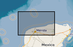
BIRPS (the British Institutions Reflection Profiling Syndicate) acquired almost 650 km of offshore seismic data and 300 km of onshore seismic data over the Chicxulub impact crater. The data were recorded to 18 s two-way time.
-
WESTLINE was acquired by BIRPS (the British Institutions Reflection Profiling Syndicate). The seismic data image the faulted conjugate margins of the Rockall Trough and the intrabasinal sediments. The seismic data were shot to 18 s two-way time along a single 450 km-long transect.